 Walks and other things
Girona and Castell de St Miquel
One of the times I didn't have a camera, but the walk is good. You'd be surprised at just how easy it is to get out of Girona and into countryside. The motivation for the walk was driving along the N II (N2) past Girona - much prettier than the autoroute. As you pass the city midway into the hills you get a completely different sense of the city.
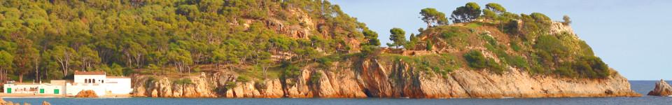
The walk starts in the northern part - the area called Pont Major. We actually parked near the prison, but there's a lot of space. The walk is then broadly straight up in to the hills. The road is signposted to Montjuic and passes under the railway line and for the first 4-5 minutes you need to walk along the road. As the road curves in an inverted U, the path heads up along by a stream. Keep walking up (past the cement factory). On the right of the path is a field with what looks like the world's most dangerous electric fence. Then as you get to the top, the path enters the woods. Keep going up past the farms and you'll reach a T junction. To follow this path go to the right. If you turned left though you'd get to a different castle (at one point on the walk you'll be able to see three - St Julia de Ramis, Castell de Campdora and Castell de St Miquel. The last one is more of a ruin than the other two).
Follow the road to the right past a farm. The first left that you can go down (a broad drivable track) takes you down to a bridge over the main N II road. Across the bridge take the first right and follow the track up - it's quite steep in places. At the top of the hill you'll find a smaller track that winds up to the ruin of the castle. It's quite tumbledown and overgrown. From here you can make your way down via the main signposted path - follow the sign post to Barri Vell. As you come out of the trees you suddenly see Girona laid out in front of you and the Cathedral between two hills. As you go down the valley you pass under the N II this time, close to a large white sculpture. The path opens out and you follow the stream down. It takes a while to reach the outskirts of the city - there is no building until you reach the old monestary of St Denis then it follows old streets to the back of the Cathedral.
We completed the walk by immediately turning up the hill to Montjuic. This is a modern estate now but at the top you can find the ruins of the old Girona Ciutadella. This is a large castle or fort with very big earthworks and walls as defences. Built for the wars between France and Spain around 1610-1659 - part of the extremely complex Thirty Years' War and the Catalan Reapers War (Catalan Revolt). These Ciutadellas can be found in the main Catalan towns (Rousillion in France was Catalan until 1656) - Barcelona's was in the Park de la Ciutadella, Girona, but also Roses, Perpignan - the Palais de Rois de Majorca - and as far north as Salses castle.
Neighbouring walks: Roman fort at St Julia de Ramis (Girona) - Celra, Juia and the Castle of Palagret- Girona valley of Sant Daniel - Gavarres Montnegre and Montigalar - Ruta del Carrilet - Girona cyclepath to the coast - Bescano, River Ter and free-style kayaking - Girona and Castell de St Miquel - Roman fort at St Julia de Ramis (Girona) - Girona - Festa Major of Sant Narcis

