Mollo (Camprodon) - Pyrenees to France
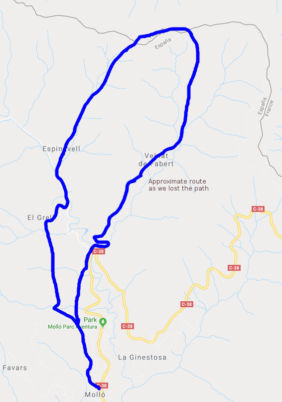
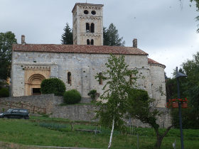 We were visiting Camprodon recently and saw a number of walks up into the hills/mountains up to the French border. The distance from Camprodon itself would have meant a two day walk, so instead we travelled a little further up and decided to make the walk from the village of Mollo via Espinavell which was more of a 4-5 hour hike.
Before getting to the walk, I should mention Camprodon as it's one of our favourite towns in towards the mountains. It's relatively small but has a real mountain feel to it with the sound of cowbells, the smell of fresh grass and a number of small streams running through the centre with crystal clear mountain water - almost a complete change in geography from the sea and coast. There's an old peak-arched bridge and nestle of old greystone houses with the odd modernista building. If you're lucky you'd be able to go into the town museum (it has no formal timetable) which houses a collection of articles, posters and artifacts from the civil war and WWII, from when the region was one of the escape routes for downed British airmen fleeing occupied France.
 Our walk however, started from Mollo which is the next village up, about 7km up the valley towards the pass into France. Mollo itself is a small village with a church, a square and a few paved stoned streets, but we saw several walkers while we were there.
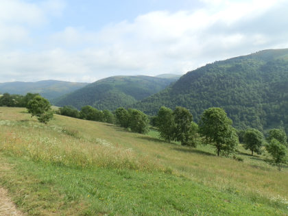
To go up we follow the marked footpath. The route is a GR and so marked by red-white flashes and mostly signposted and easy to follow. To begin with we follow the path out of the top of the village out into the fields with the valley running below to the right tumbling away behind us. In early summer the weather was cooler than at the coast but still warm and with lots of water around, there was a classic feel of vitality and verdent meadows.
As we continued the path ran through some woods and we could hear the sound of animal bells. Expecting to see cows, we were surprised to be greeted by horses in the woods and on the path ahead of us taking water at one of the streams.
As we got closer to Espinavell some of the directions got a little more tricky. The GR took us along the top of a terrace wall in the woods lined with stinging nettles on one side and a 1-2m drop on the other side. We're not so used to stinging nettles as they tend not to grow in the drier areas by the coast and so were unprepared just wearing shorts and low socks.
The terraced path eventually reaches a stream and the marked route is in the water of the streambed down to the road for Espinavell.
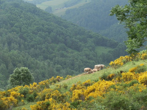
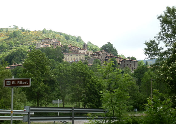
At Espinavell we ran into mountain bikers coming downhill from the pass up above on the route we were wanting to take up. Some had called in at the local cafe for a break. Espinavell itself has a small church and a set of rough hewn houses that look back down the valley in one direction, or up to the yellow gorse covered mountains behind. The roads in the village are very steep, lined with stones carefully laid in a pattern. And by the time we had climbed out of the village to the path at the top we were seriously puffing.
The path then tracks upwards into the gorse, some of which was high and dense and we were guided by the route marked for the mountain bikers. At the top we were met by the border marker and the sight of clouds coming up to the ridgeway from the French side and so didn't get the views of Canigo we were expecting.
The area on top is open grass covered and apart from the border stone at Col Pregon, no visible sign of a border so we followed the path on the French side over a couple of small hills that took us over 1600m and watched by French cows in the fields.
Coming down we could have taken the route back to Espinavell (there's a clear and easily marked path), but we wanted a little more of a loop so aimed to take a path down from Puig Sec and the Basses de Fabert where there was a small pond.
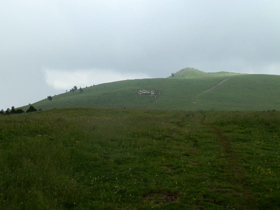
However, this created something of a problem in that though the path is marked, it turned out that it was very well covered with vegetation and so finding and tracking the route down through the grass was much more difficult than we expected and we lose the path on various occasions. Fortunately we know the direction we were heading and just about manage to find our way to the proper route, only to lose it a little later as it zigzagged down a meadow. Fortunately there are no cliffs and it's open countryside, so nothing dangerous but it would be easy to get lost among the stream valleys running off the mountain, so do have a map.
Eventually we cross a number of streams and passed water pools with baby salamanders resting in the water under a small waterfall and reach the hamlet of Fabert. In theory from Fabert there is a marked route along the stream valley but when we tried to follow the path it was so overgrown from the new summer nettles that it was practically impossible to follow and we had to turn back and take the paved track back going down to the main road. The main road is busy so we climbed a little higher to find the route through the fields back to Mollo feeling our legs a little.
Nearby: Sadernes and river pools of St Aniol d'Aguja - Sant Esteve d'En Bas (Olot) - Ribes de Freser and skiing at Vall de Nuria - Olot - capital of Garrotxa - Els Set Gorgs (Campdevanol)- La Jonquera to Fort de Bellegarde (France) - Villefranche-de-Conflent and Mont-Louis (France) - Puigcerda and Bourg-Madame - Portbou to Cerbère (France) and back

 Walks and other things